

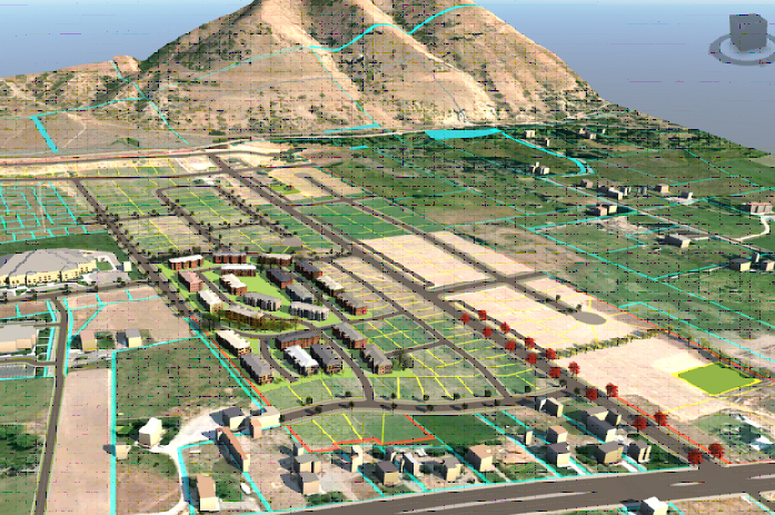
Autodesk InfraWorks software is designed for Civil Engineers and Planners who need to quickly generate 3D models to create conceptual infrastructure designs and proposals or to view the final design using 3D geospatial data and design data. Infraworks is a preliminary design software to enhance detailed road design tasks, design decisions specially drainage and road designs.
Autodesk InfraWorks accelerates the design process and streamlines decision making by rapidly generating data-rich proposals for design alternatives under existing conditions. we will learn techniques enabling you to create, analyze, visualize, manage, and distribute 3D geospatial data.